

Indoors and objects
Measure with AR
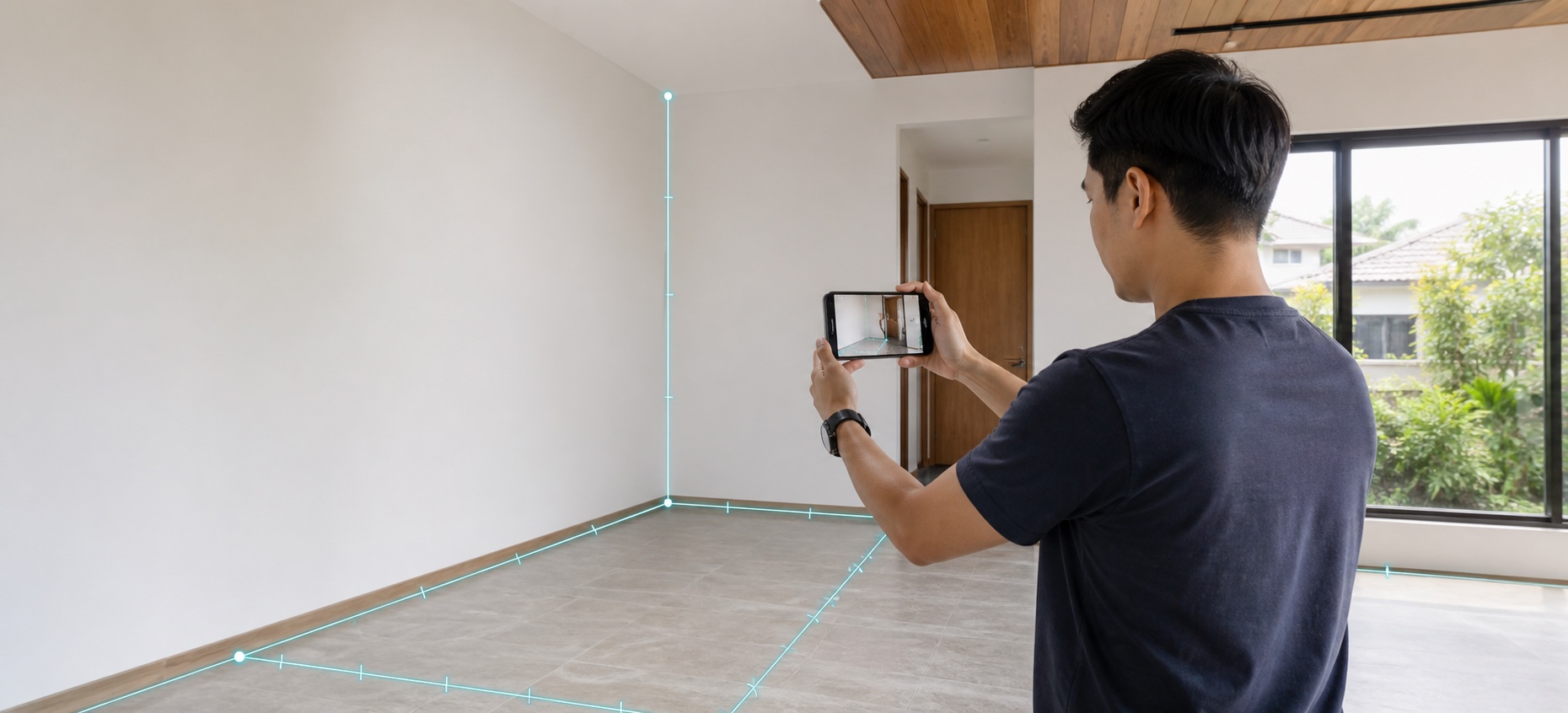
Place points on the live view or move the camera to draw a continuous path while distances, angles, and shapes stay visible on site.
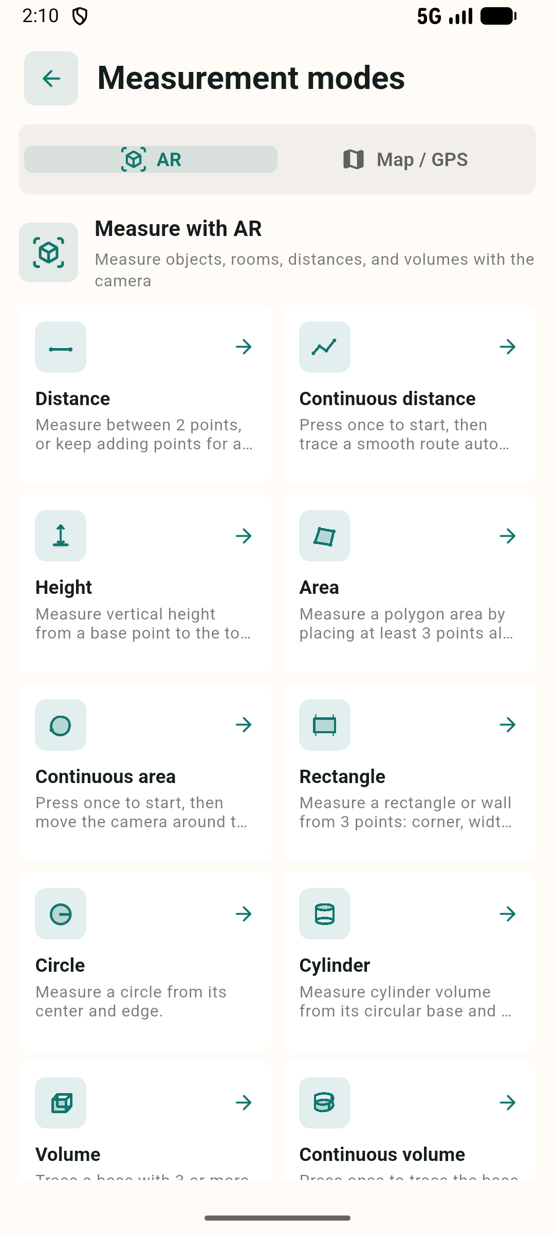
- Distance, height, and angles
- Area, rectangles, and circles
- Volume and 3D shapes
AR camera · GPS · Maps
Measure distance, area, height, angles, and volume with one phone, indoors or outdoors.
Choose the right tool for the site
Indoors and objects
Place points on the live view or move the camera to draw a continuous path while distances, angles, and shapes stay visible on site.
Outdoors and land
Pick points on satellite imagery or walk the boundary with GPS, then review area, perimeter, angles, and parcels on the map.
Designed for real work
Tools that keep up with the job
Measure point to point or trace a continuous distance path with AR.
Measure areas, shapes, height, and volume with point-based or continuous modes.
Capture real positions or select map points, then review angles, distance, and area.
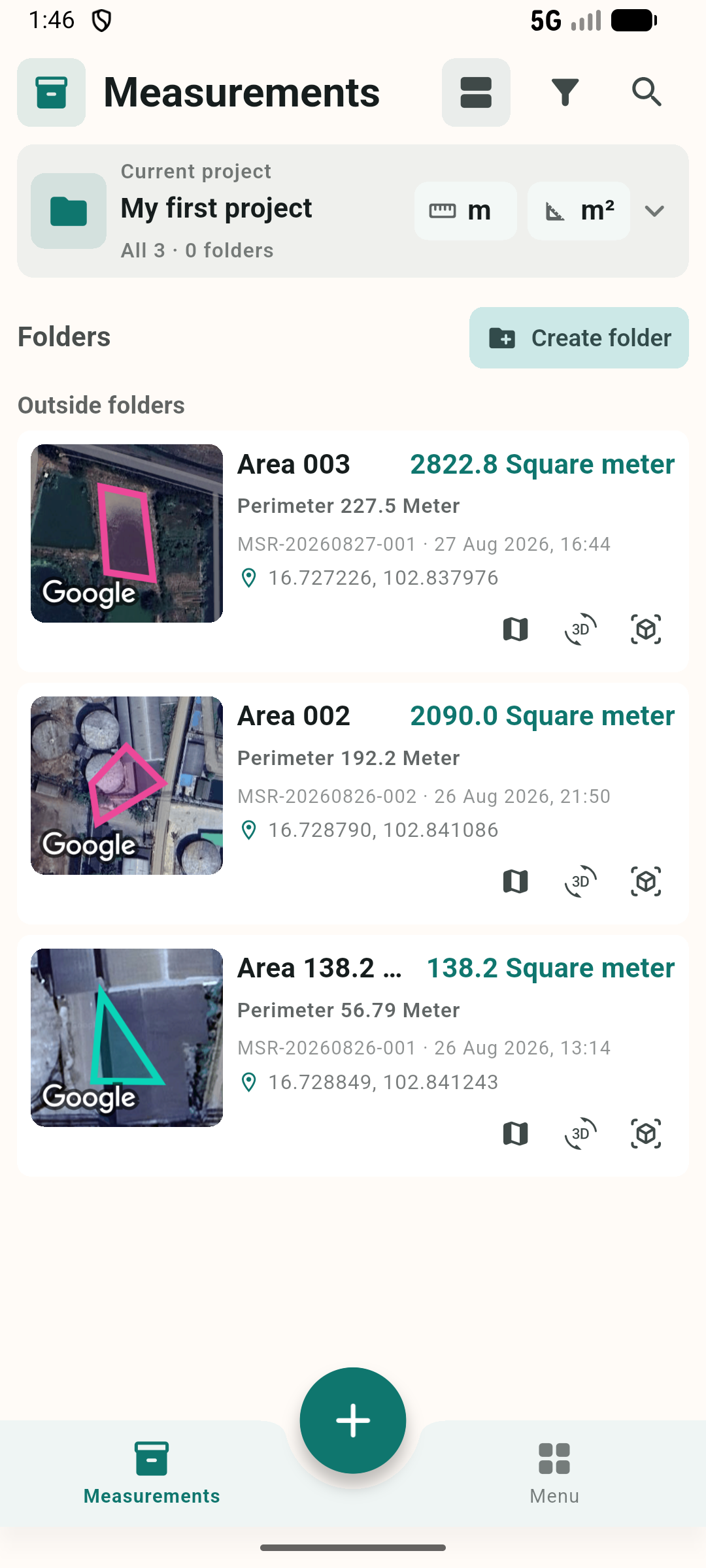
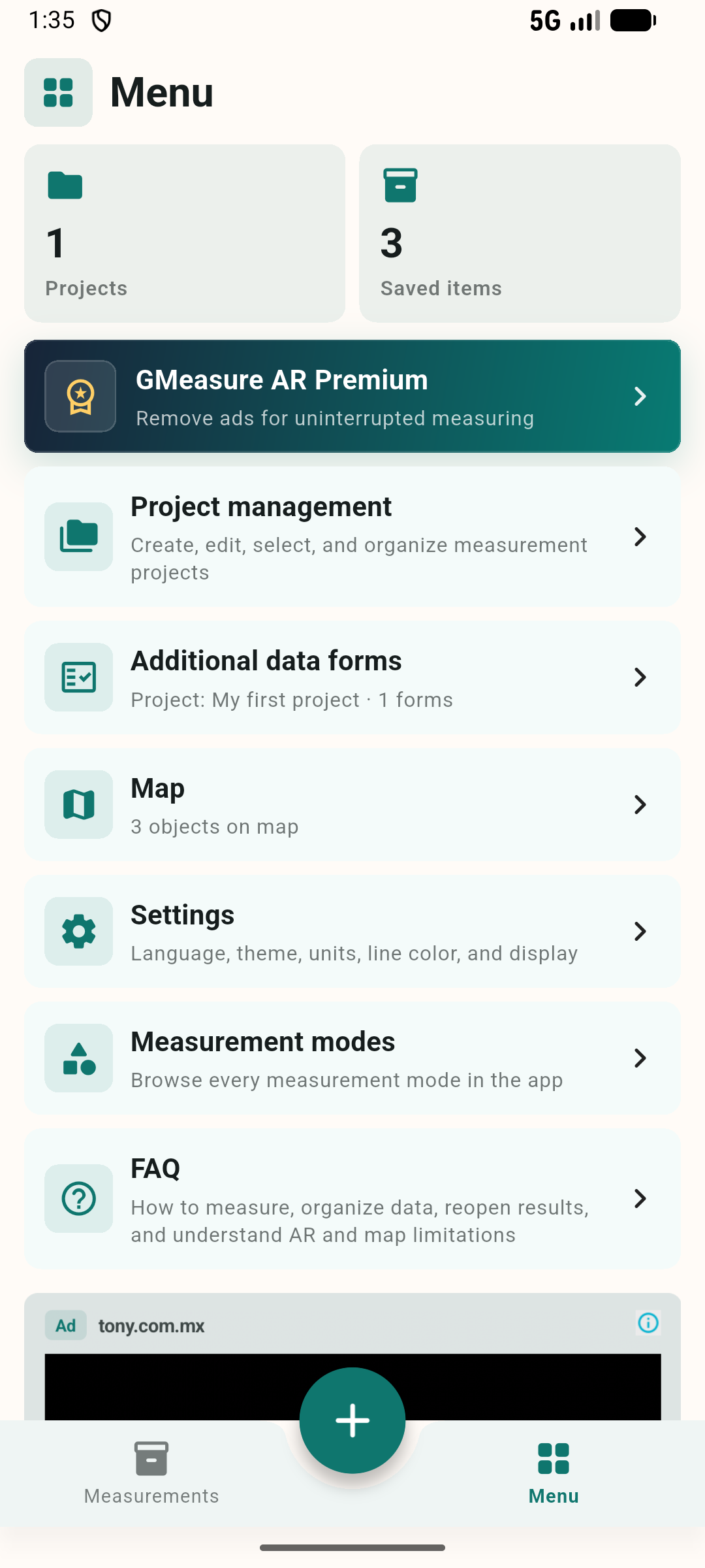
Separate jobs, search and filter results, and return to earlier measurements easily.
Create text, number, date, and choice fields and attach forms to your work.
Export PDF, CSV, KML/KMZ, DXF, SVG, and model files based on measurement type.
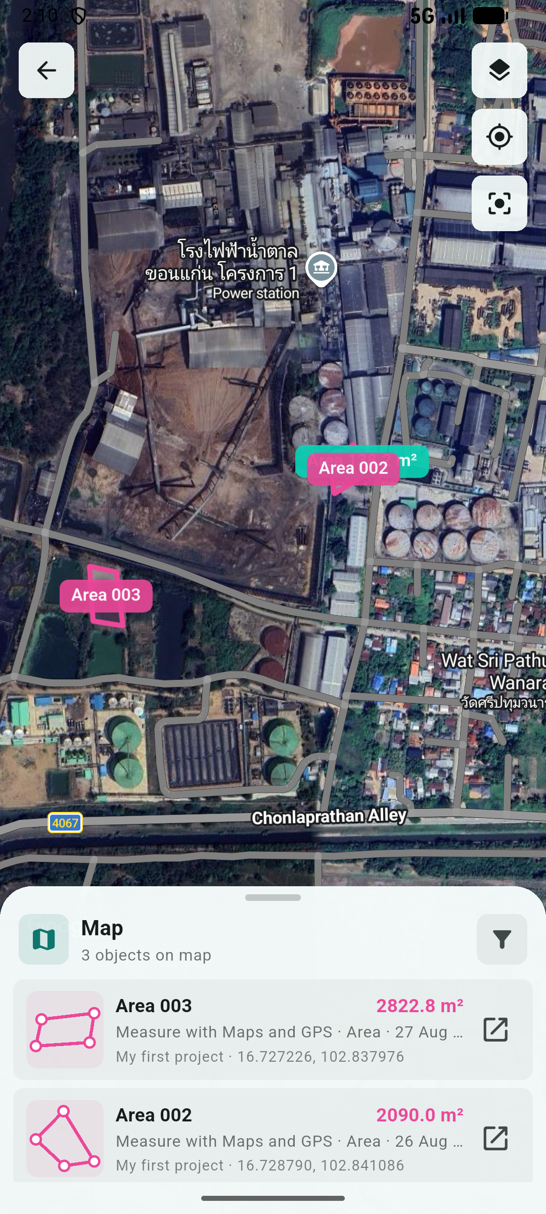
See the real location, not an isolated shape
Display each object's name, size, and color over satellite imagery. Select an item to understand its surroundings or open details and the 3D view.
Start in a few steps
Use AR for objects and rooms, or map/GPS for outdoor areas.
Review distance, angles, area, or volume while measuring.
Name the result, organize it, add data, and choose the file format you need.
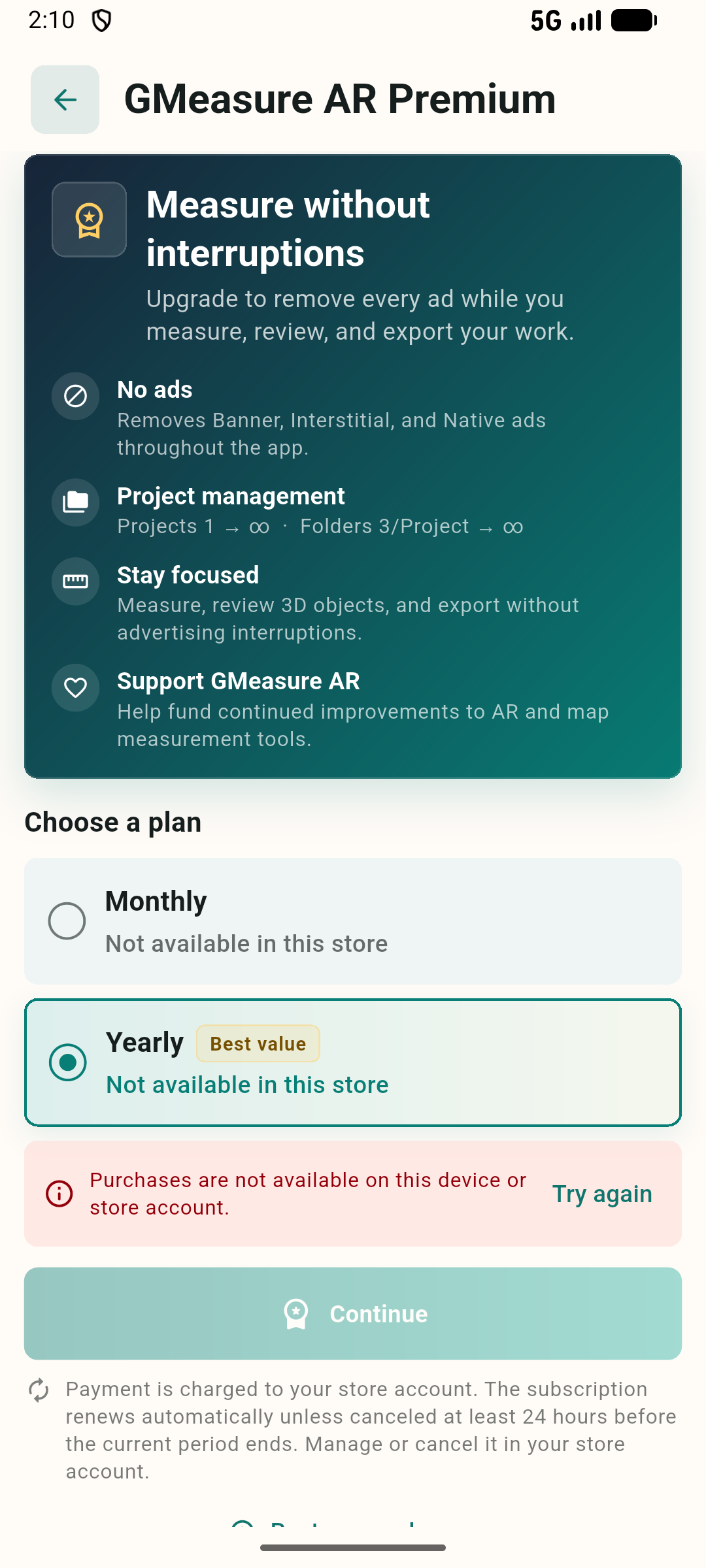
GMeasure AR Premium
Ready to measure?